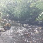
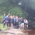
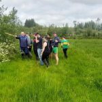
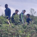
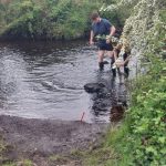
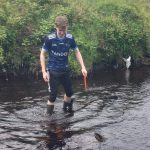
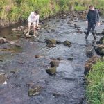
On Tuesday 23rd May, Mr Mullen and Ms. Simpson took the 5th year geography class to 2 sites on the Yellow River to investigate processes of erosion.
We conducted our GI at 2 locations; 1 Stralongford Bridge and 2 below Poll an Eas waterfall.
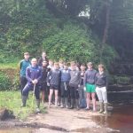
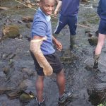
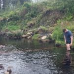
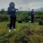
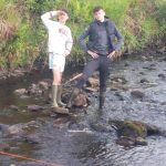
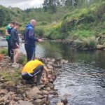
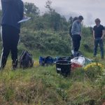
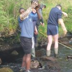
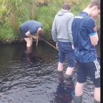
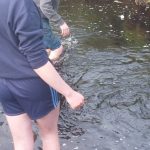
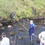
The class was divided into 2 groups and each group got the opportunity to measure various variables in the river.
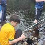
They measured width, depth , bedload size and shape, wetted perimeter and sinuosity. Back in the classroom we will write up a report on the GI and this report accounts for 20% of the final mark at Leaving Cert. We will use this data to draw a Cross Sectional Area, Discharge , Hydraulic Radius as well as flow charts and bar graphs and field sketches. A busy week ahead!!!!
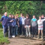
We had a beautiful day for our trip and got all our tasks successfully completed.
Well done to the class and to Mr Mullen and Ms Simpson.

Share this: